Hike of the Week: Coyote Hills Bayview Trail
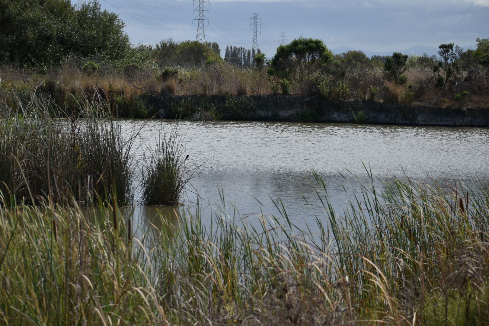
Coyote Hills Regional Park is a popular destination in Union City with hiking trails, marshes and is a good birding destination due to its proximity to Don Edwards San Francisco Bay National Wildlife Refuge and Eden Landing Ecological Preserve. It has a freshwater marshland in the city side of the park and a salt marsh along the Bay side, making it popular for aquatic birds of all kinds. Today’s Hike of the Week takes you through the ponds and up to an awesome view of the South Bay on the Coyote Hills Bayview Trail.

Quick Notes
Distance: 5.69 miles
Elevation Gain: about 90 feet
Type: Loop
Difficulty: Easy

Transit Directions
From Union City BART, take Union City Line 1 to Rocklin Drive and Union City Boulevard. Walk back along Union City Boulevard until you cross the bridge, then walk down along the ramp to the trail that passes under the bridge. You are now on the Alameda Creek Trail.
Driving Directions to Alameda Creek Staging Area
From I-880, take Exit 22 for Alvarado Blvd toward Fremont Blvd N. Turn right onto Alvarado Boulevard, then left onto Lowry Road. The parking lot will be on your left. From the parking lot, double back to get to the trail on the far side of the creek. Take the trail to Union City Boulevard, then go under the bridge, cross it, and under again to be on the south Alameda Creek Trail.
The Hike

Walk westward along Alameda Creek Trail to the DUST trail and then turn left to walk closer to the marsh. Continue as the DUST trail turns into the Chochenyo Trail, then turn right to follow Lizard Rock Trail up the hill.
When you reach the Bayview Trail, turn right to continue the hike up and around the hill. Around the hill are breathtaking views of the Bay stretched out before you and the salt marshes at the bottom of the hill. When you get a chance, try birding here.
Follow the Bayview trail until it connects with the No Name Trail on the south side of the salt marsh. (Alternatively, take the Red Hill Trail to the top of the hill and reconnect with the Bayview Trail at the south end of the salt marsh. This will lead to a higher view of the Bay and environs.) The Bayview trail leads back into the park’s freshwater ponds, and it will continue to become the Muskrat Trail and go around the back of the marshland. Soon you will see a link to the DUST Trail and your starting point. Alternatively, continue in the back of the marshland to your starting point at the Alameda Creek Trail.

Leave a Reply