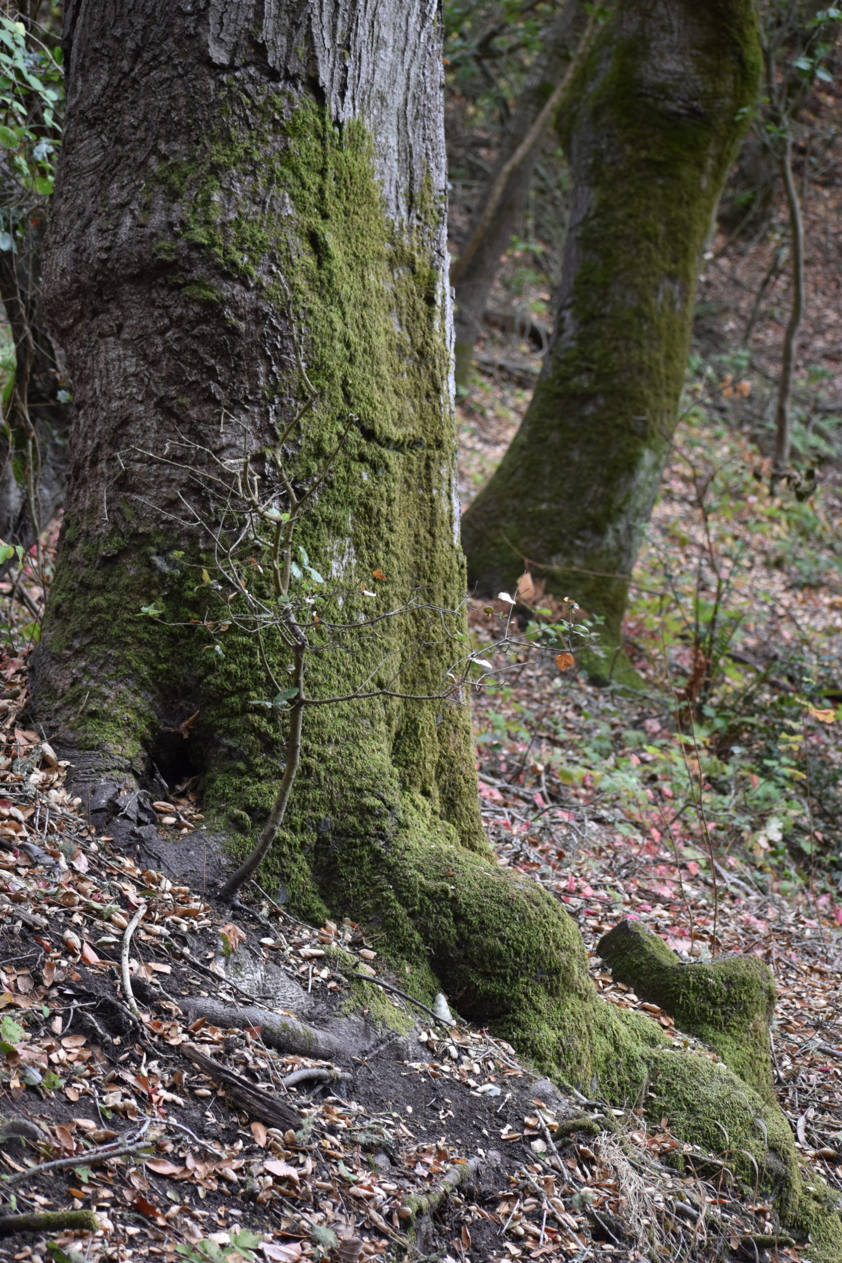
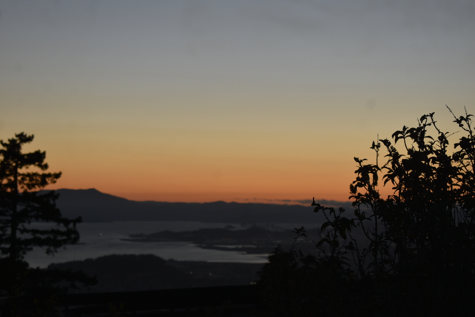
During the pandemic, the bus line that normally runs from Downtown Berkeley to Tilden Park was defunct. Now that it has returned it is of course much easier to get to the park; however, since the line only runs on weekdays, I feel the need to show you a good route to Tilden Park that does not require a bus. In addition to the improved accessibility, the walking path I discovered provides a good urban hike of its own. This route is for those seeking a workout since it contains lots of North Berkeley paths, good views, and the route saves time.
There is significant poison oak in Tilden Park. Please see the related blog post, “How to Be Safe when you Encounter Poison Oak” for more information.
Quick Notes
Distance: 2.1 miles
Elevation Gain: 950 feet
Difficulty: Intermediate
Type: Out and Back
Transit Accessibility
Take any route to Downtown Berkeley BART. Walk east about two blocks to Crescent Lawn. Alternatively, take AC Transit Line 6 to the Crescent Lawn.

The Hike
Begin at Crescent Lawn at the University of California. From there, head north toward University Dr, and take the stairs toward MacFarlane Lane (this goes through the University campus). MacFarlane Lane will take you out of the University to Hearst Ave. Turn right onto Le Conte, go over a hill and turn left onto Euclid Ave. Go 0.4 miles and turn right onto Rose Walk. From there, the pathways begin.
Rose walk evolves into Rose Street, and from there becomes Rose Steps. They are hard to find in the day, but well-lit at night; they will take you onto La Loma Avenue’s pedestrian walkway past Incarnation Monastery on the right. Go uphill from there and turn left onto Glendale Avenue. It will offset slightly to the right and become Glendale Path, a pedestrian walkway. Go up the stairs to Queens Road and find the next set of Glendale Path stairs slightly to the right of the last one. After that, you see Fairlawn Drive, turn slightly right, and the remaining Glendale Path stairs will appear again on your left.

Fairlawn Drive will loop around, and when you come out of the Glendale Path staircase again, you cross it to get to Arcade Avenue. Go up Arcade Avenue for a few hundred feet, and then turn left onto Grizzly Peak Blvd. After a few more feet, Atlas Path will open to your right. Head up another set of stairs to reach Atlas Path Vista, and a nice break on a park bench. From there you will reach a street called Atlas Place. A few hundred feet later you will reach the Selby Trail, and you are in Tilden Park.
You have completed the urban walk; depending on the day you might continue to hike. The Golf Course is in front of you. Turn left on the Selby Trail to go north towards Lake Anza. Or turn right and it will take you to Grizzly Peak Trail and the Steam Train. Make a day of it by taking one of the long hikes in Tilden Park, such as the Curran Loop, or take a right and go to Siesta Valley.

Leave a Reply