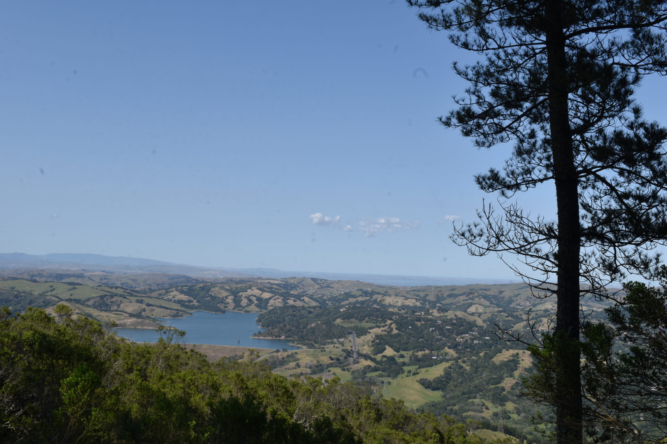
One of the main attractions of Tilden Park is the proximity to other parks. This hike is useful as a jumping-off point into Siesta Valley Recreation Area and some of the lands owned by the University of California. It will go through low hills with heavy trees and native flowers and takes you through highlands with splendid views of the University of California, the Bay, and the Briones Valley on the opposite side.
Quick Notes
Distance: 2.9 – 3.9 miles
Elevation Gain: 636 feet
Type: Out and Back
Difficulty: Easy

Transit Accessibility
From Central Berkeley, start at Channing and Shattuck Avenue. Take Bear Transit Line H to Hearst Mining Circle, then Line R to Space Sciences Lab. Double back along Grizzly Peak boulevard and then turn right on Golf Course Road. Where Redwood Trail intersects with Golf Course Road, turn right.
If the bus is not running (it doesn’t on weekends) try North Berkeley Paths. It will take longer but will get you there.
Driving Directions
Take Dwight Way east to Prospect Street, then turn right. Turn right onto Canyon Road, which becomes Stadium Rim Way. Turn right on Centennial Drive and follow it to Grizzly Peak Boulevard. The golf course does not have parking, so follow Grizzly peak boulevard to Muir Way, turn right, and then left onto Park Hills Road. Then turn right, then quickly left, to take Central Park Drive to Lake Anza Road. From there, take a hard right to get to Lake Anza Parking Lot. Follow the Selby Trail to Anza View Road, turn right, and reconnect with it to get back to the origination point at Tilden Park Golf course.
The Hike
Continue along Redwood Trail until it joins Golf Course Trail. When you reach the Laurel Picnic Area, turn left to take a low-use road to Arroyo Trail, then turn right and continue until you reach the Seaview Trail. Turn right here and walk about a mile and a half. The maximum elevation for the day occurs around the time the Briones Valley opens on your left and you can see the Bay on your right. The Seaview trail ends at Tilden Steam Train parking lot, but across the road you will find the Bay Area Ridge Trail in Siesta Valley Recreation Area. Follow it to Scotts Peak Trailhead, cross the road and take the Fire Trail. When it merges with the upper fire trail, continue by turning right, and immediately left, at the intersection. to Picnic View Ridge for a view of Berkeley from the southside. You have now walked 3.9 miles for the day.
Note on the local plants


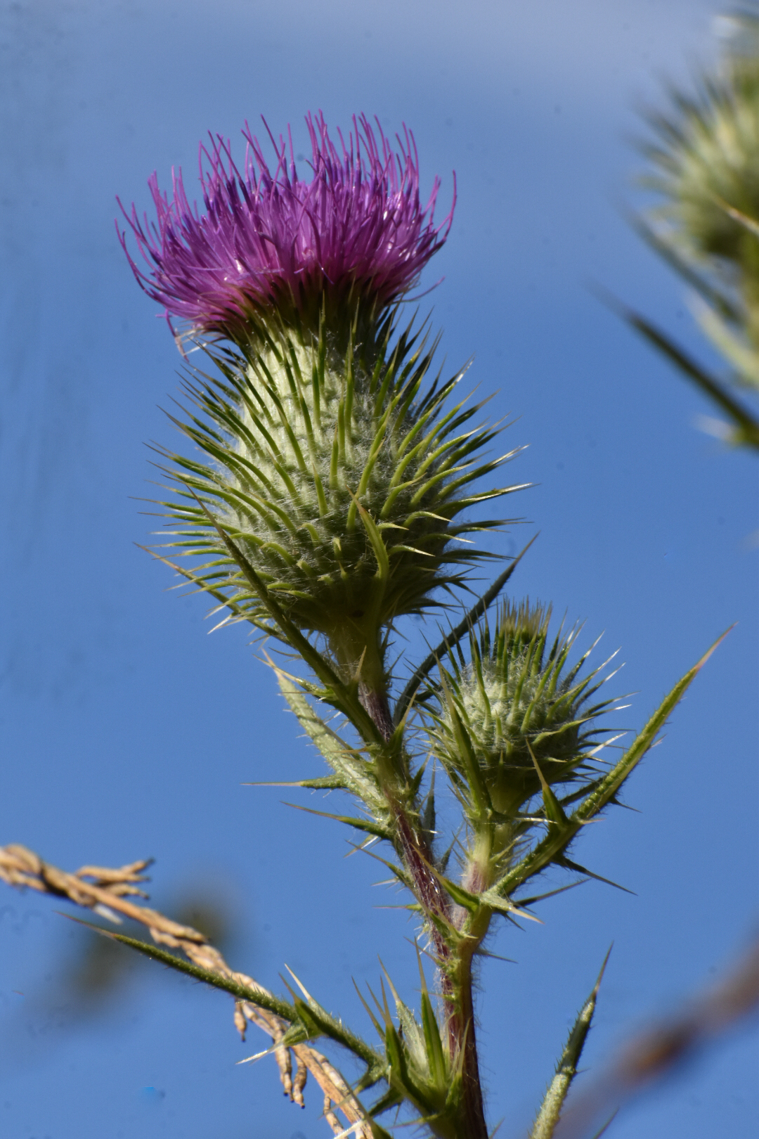
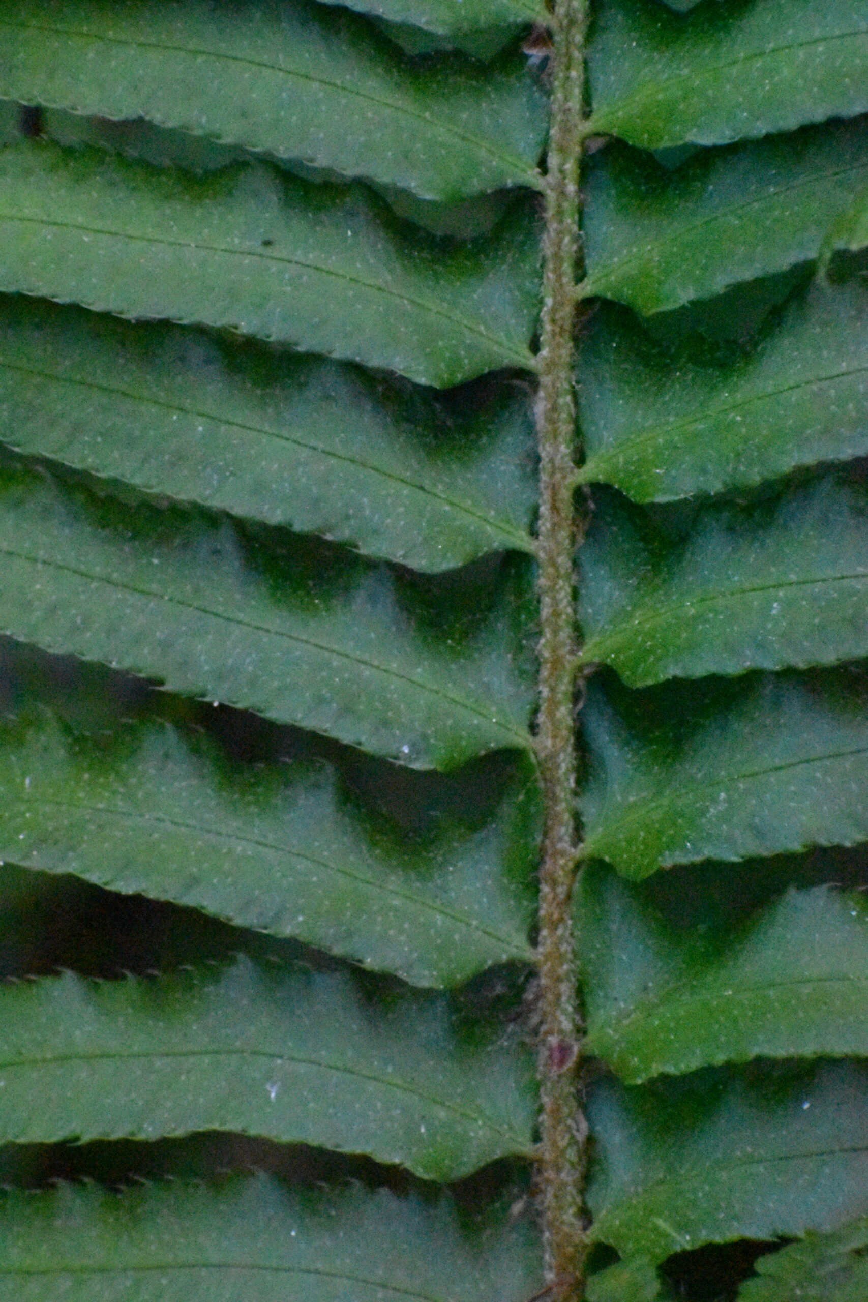
Look at the plants you see around you as this hike takes you through an interesting botanical tour. Around March – May, if you have time, come here to see the (native) lupines and California poppies bloom. This time of year, you can expect to see thistles and other non-native plants. The thistles pictured here are all non-native species, and so is the ubiquitous milkweed. I was disappointed to learn it disrupts the feeding of monarch butterflies.

Leave a Reply